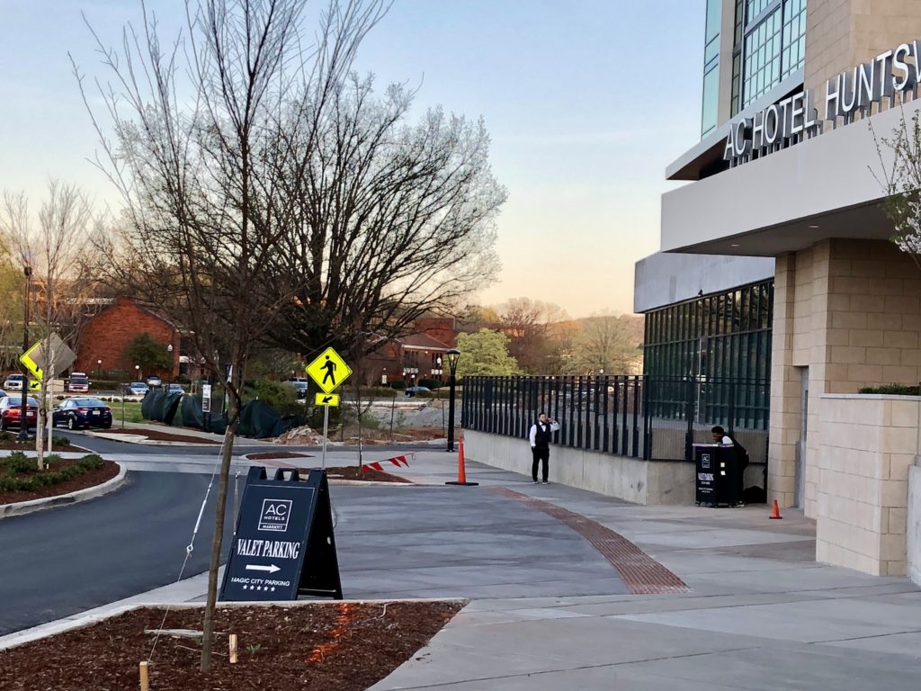
Editor’s Note: Our VV&W founder and broker, Nancy Wilkinson Van Valkenburgh, has been a leader in the preservation of Huntsville’s downtown area since the space boom, when the push for modernization often ran roughshod over historic preservation. Here, she recounts how a controversial road plan threatened what is now known as the Twickenham Historic Preservation District.
Downtown Huntsville is changing even as you read this commentary. New roads are under construction. Cranes and heavy equipment abound. Cables are being laid everywhere.
Moving into the future is and has been part of Huntsville’s DNA ever since John Hunt moved here from Tennessee in 1805 to build his cabin on Big Spring and Leroy Pope and friends moved from Petersburg, Georgia in 1811. Pope built Poplar Grove on Echols Hills and his friends built many of the antebellum mansions that still survive today.
Newcomers (of whom I am one) bring ideas from everywhere and they are almost always useful, but sometimes have to be tweaked. As the late noted architect, Harvie P. Jones, once remarked on seeing an inappropriate renovation of a historic building, “Someone went to Williamsburg once.”
When I married a sixth generation Huntsvillian, I became as many of you have, a true Huntsvillian, too, wanting the best for our city. During the late 1960’s, about the time the present Court House was built, there was a movement in the city to make downtown modern around the Square and in the design of downtown streets.
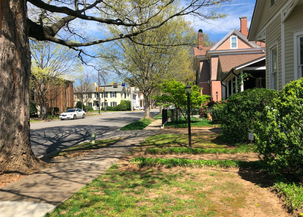
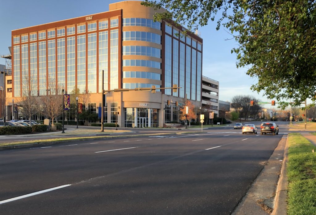
One of the ideas that had to be tweaked was the downtown “Ring Road” plan. As you walk on Williams Avenue going east by Big Spring Park toward Franklin Street in the Twickenham Historic Preservation District, you may have wondered why the wide road suddenly narrows when it reaches Twickenham.
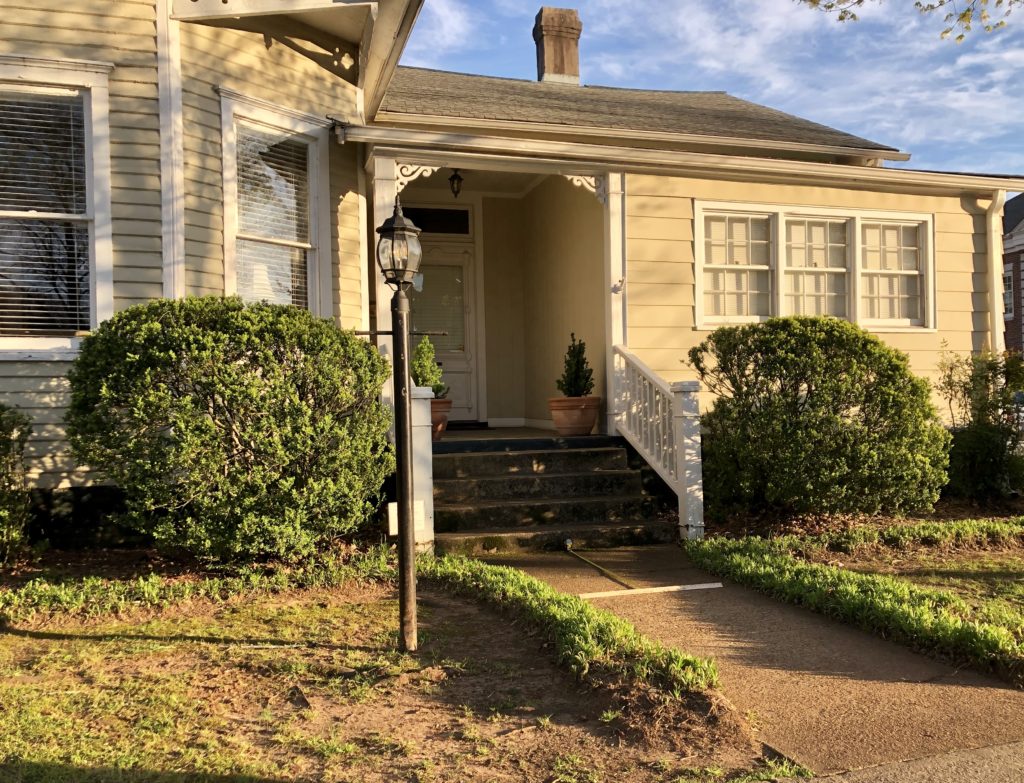
On your right, you will pass by the first of two smaller one-story Victorian homes where Richard and I lived in the early 1970’s when I saw some city people measuring the roads.
“Good morning. What is happening?” I asked. As I recall, the city worker said “We are measuring to widen the road to 71 feet.”
This was part of the Ring Road that was supposed to bring people back to a dying downtown. It would ring the downtown with a wide road of Williams to Lincoln Street, Lincoln to Monroe, and Monroe back to Williams. The image below shows the current map of this area, with the planned ring road route set forth in yellow.
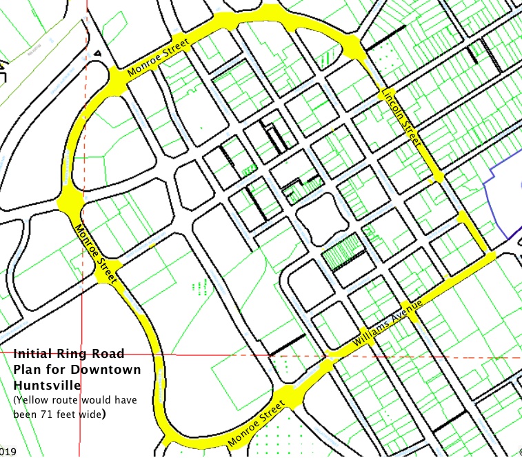
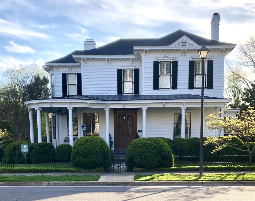
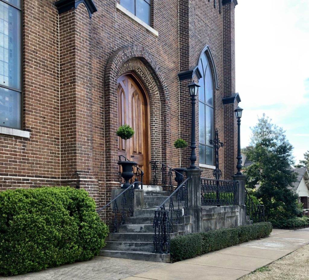
In the meantime, the planned road would come right up to the steps of our house on Williams, take out the steps of Dr. Bill McKissack’s house on the corner of Williams and Lincoln (now known as the Wilson-McKissack house), and take out the steps of First Presbyterian Church.
To use a Huntsville term, “You don’t have to be a rocket scientist” to know that was not good. This was the time frame when modernity and historic preservation had to learn to co-exist. That it did in Huntsville is a tribute to its citizens. The modifying of the ring road plan is a story for another day.
=
